
Beneath the surface, the same precision.
Sonar-based survey technology, metocean measurement and subsea inspection capability — built to map, monitor and maintain infrastructure below the waterline.
Sonar Survey Technology
Used to map subsea installations, detect debris and monitor free-span sections of subsea infrastructure.
- Side scan sonar
- Forward-looking sonar
- Scanning sonar for submerged vertical structures
- Free-span & debris mapping
Applications
Meteorological and oceanographic data collection supporting safe, efficient offshore operations.
- Daily operational safety
- Corrections of survey data
- Support for offshore construction
- Tide prediction & vertical datums · platform safety
Eyes and hands, below the waterline.
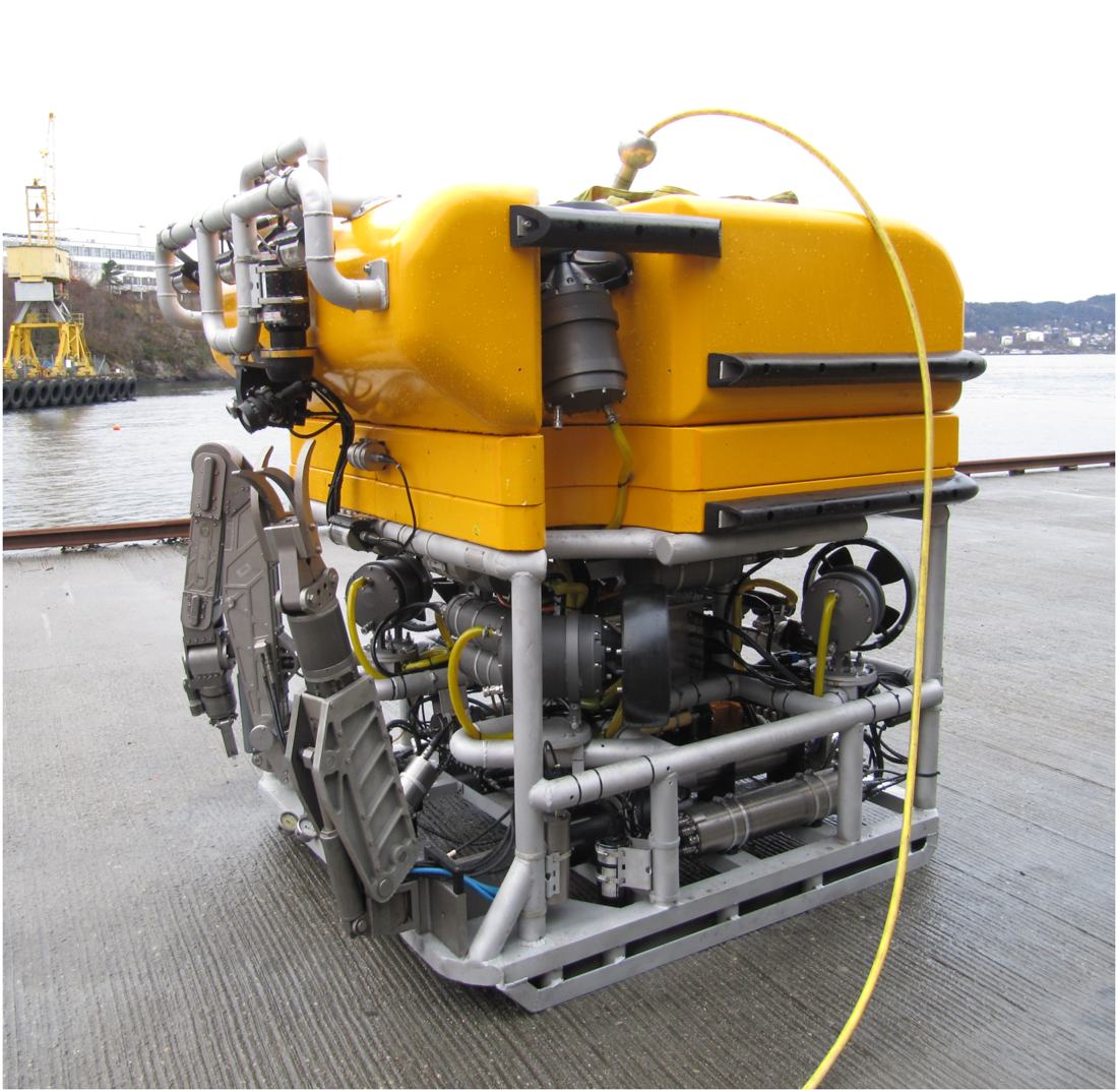
Remotely operated vehicle (ROV) capability supporting subsea inspection, construction and maintenance programmes.
- Pipeline inspection
- Cathodic protection
- Subsea construction support
- Well head & platform inspection
Survey Fleet
A modern, portable equipment fleet purpose-built for accurate mapping and precision positioning.
- Smart single-beam & multi-beam echo sounders
- Imaging sonars for installation inspection
- GNSS (GPS) · INS/IMU · USBL
Virtual Tours & 3D Lidar Scanning
A digital twin of your facility, captured in 2D and 360° for planning, HSE induction and training.
- Point cloud & piping models generated from site scans
- Accurate 3D models and 2D drawings from scan data
Rapid Global Mobilization
We can mobilize equipment and personnel within 1–2 weeks, depending on the type of project. Our equipment is modern, portable and built to fly with our personnel.